The Rainforest Alliance has just presented a geolocation guide for farms highlighting areas at high risk of deforestation in Cameroon. This decision-making tool will help agricultural stakeholders in their efforts to reduce the risks of deforestation. In Cameroon, agriculture is responsible for two thirds of deforestation, i.e. 2,177 hectares of forest lost per year.
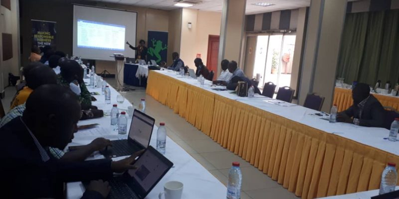
In Cameroon, the risks of deforestation due to agriculture have increased in the South and East regions. This is what emerges from the geolocation guide for farms highlighting areas at high risk of deforestation and encroachment into protected areas, presented on June 30th, 2021 in Yaoundé, the Cameroonian capital. The Rainforest Alliance’s initiative aims to support agricultural sector actors in protecting biodiversity and reducing the risks of deforestation, particularly the conversion of forests into farms.
“In the field of cocoa, for example, the South-West region has long been the leading producer at national level. Today, the separatist war in this region has led to a drop in harvests, and farmers in this region have moved to forested areas, particularly in the South and East. These movements increase the pressure on the forests in these two regions. And we think that in the next few years the situation will be even more worrying, with agribusinesses also interested in large-scale production,” explains Nadège Zoyem, the Rainforest Alliance’s Central Africa regional director.
According to data provided by satellite imagery, in 2019 the deforestation rate in Cameroon was estimated at 0.0168%, or about 3,628 hectares per year. These deforested areas include 1,250 hectares lost to logging, and about 2,177 hectares lost to agriculture.
Read also, CAMEROON: Camvert and the forest peril in the Congo basin
Sustainable, certified agriculture
The Rainforest Alliance’s guide to the geolocation of farms at risk of deforestation also aims to guide importers of agricultural raw materials towards products from sustainable agriculture that comply with environmental standards. This is the case for Olam, the second largest exporter of cocoa in Cameroon. “This geolocation guide will contribute to the achievement of our objective of deforestation-free cocoa. Because, in its objective of sustainability, Olam aims this year to map more than 10,000 cocoa farmers, located outside areas at risk of deforestation,” says Eugène Kamdem, Director of Operations at Olam-Cameroon.
As part of its strategy to combat the conversion of forests to farms, the Rainforest Alliance has developed a certification system to identify products produced by nature-friendly agriculture. The 2020 version of the Rainforest Alliance standard, which comes into force in July 2021, is focused on continuous improvement of requirements. The new version focuses on crop rotation and renovation, soil fertility and conservation, integrated crop protection, chemical management and harvesting and post-harvest practices.
Boris Ngounou


