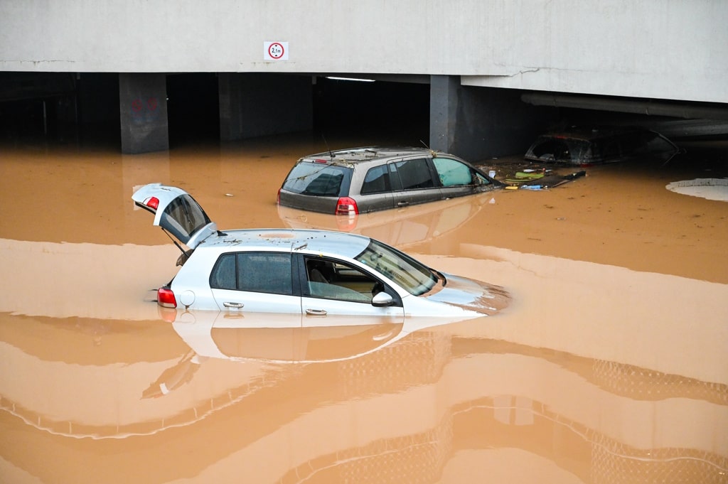
The Congo River (4,700 kilometers) is the eighth longest in the world and a crucial source of hydroelectric power in Central Africa. However, on January 10, 2024, the river reached 6.20 meters above sea level, the highest flood level since the 1960s (6.26 m in 1963, according to scientists). As a result, flooding episodes are occurring throughout the Republic of Congo, with serious economic and environmental consequences.
In all, 120 school infrastructures destroyed, 26 health centers without water or electricity, as well as 26 deaths and 6,178 internally displaced persons, according to the Congolese government. These unprecedented floods have also endangered biodiversity and the livelihoods of many Congolese, with the forced displacement or even death of several animals and the destruction of 2,200 hectares of farmland, as reported by the United Nations Office for the Coordination of Humanitarian Affairs (OCHA).
At least nine of the country’s 12 divisions are affected. These include Likouala, with its five urban communities, Sangha, with a population of 112,000, Plateaux bordering Gabon, Pool, whose marine biodiversity has been threatened in recent years by pollution, Niari, which is constantly affected by extreme weather phenomena, Kouilou, with its diverse mountainous terrain, Pointe-Noire, known for its port activities, the capital Brazzaville, and the Cuvette, the birthplace of President Denis Sassou-Nguesso.
Read also-
According to Congolese government spokesman Thierry Moungalla, “difficulties in evacuating rainwater” are one of the causes of the flooding, which is exacerbated by climate change. The cleaning of gutters and the paving of streets should facilitate the drainage of rainwater. This is why the State of Congo is going to operationalize its National Road Maintenance and Urban Sanitation Fund, in accordance with the 2024 Finance Law that AFRIK 21 consulted.
Benoit-Ivan Wansi
