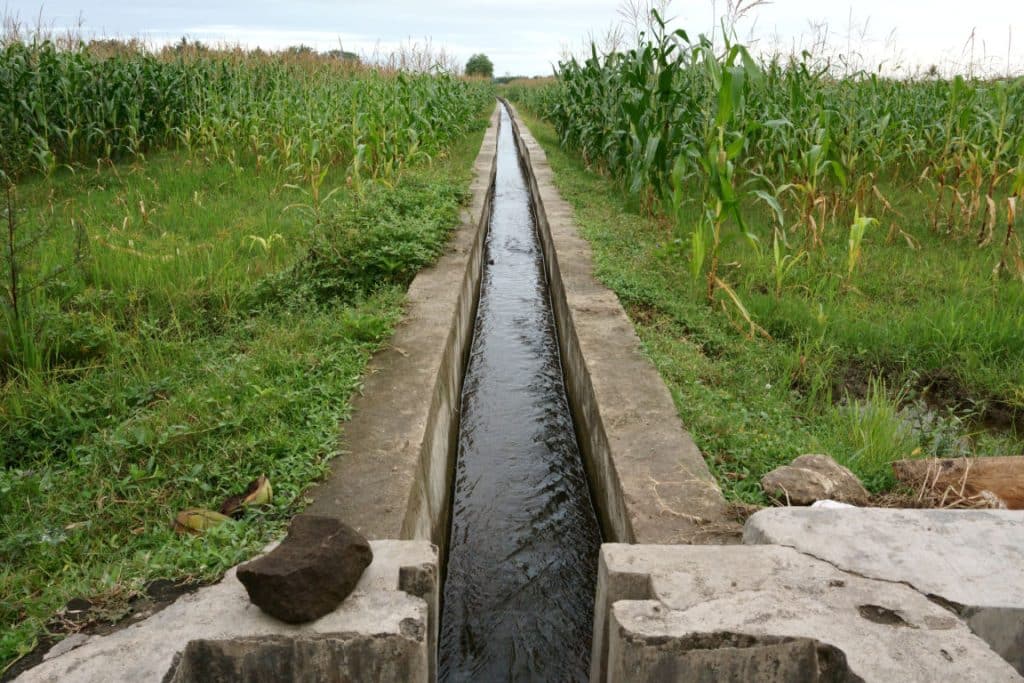
The launch of the “Irrisat-Morocco” programme on 8 September 2022 was the focus of a ceremony attended by the Director of the Royal Centre for Remote Sensing (CRTS), Driss El Hadani. The programme, based on the combination of parameters generated from satellite data and modelling, will provide farmers, agricultural development offices, basin agencies and the Moroccan Ministry of Agriculture with targeted information for a better irrigation strategy.
The North African kingdom is affected by drought, which causes water stress and land degradation. Thus the programme is based on two approaches. First, the estimation of plant water consumption and needs will be combined to propose results at the agricultural plot, irrigated sector and watershed levels. It is also planned to evaluate the impact of irrigation methods, produce a water resource balance, etc.
Support from IRD and SCO
An irrigation management tool will then be developed to rationalise the use of irrigation water in Morocco, without reducing agricultural yields. The CRTS is receiving scientific support for this programme from the French-based Institut de recherche pour le développement (IRD) and the Scape Climate Observatory (SCO).
Read also –
The irrigation programme launched in the Kingdom of Morocco supports the Satellite for Irrigation Scheduling (SAT’IRR) project, initiated by the IRD-UMR CESBIO in collaboration with Cadi Ayad University in Marrakech, on the Haouz irrigated area.
Inès Magoum
